Bizarre happenings in the Arctic: Lightning, tropical moisture, and more
By Bob Henson
14 August 2019
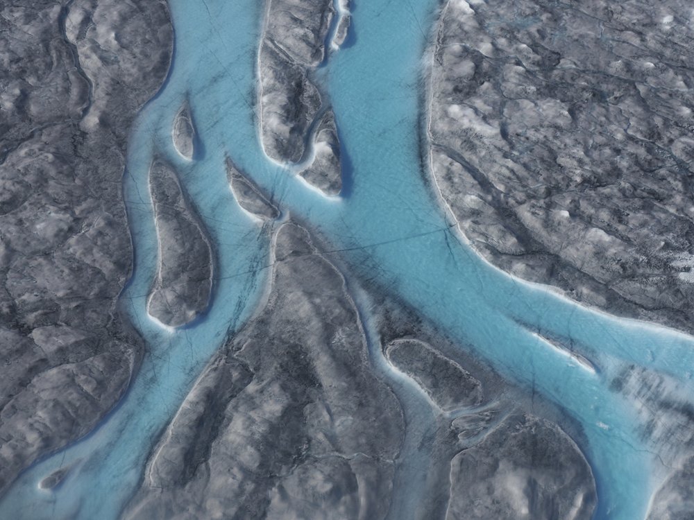
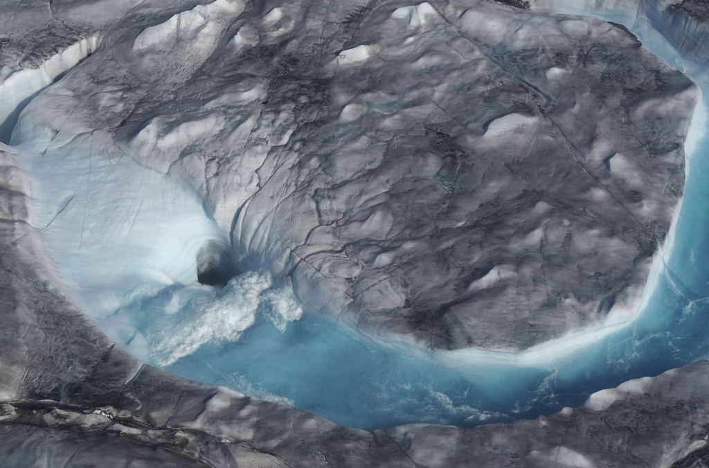
(Weather Underground) – You’ll have to forgive the Arctic. It’s had a rough summer. Sea ice is running neck and neck with 2012 for the lowest values on record for this time of year. Wildfires are ringing the Arctic, pouring more carbon dioxide into the air than in any comparable period in 17 years of satellite observing. Alaska saw its hottest month by far in almost a century of recordkeeping. And a surge of warm air with origins in last month’s record-devouring European heat wave pushed across Greenland at the end of July, melting 55 million tons of sea ice in five days. That’s an unprecedented rate in satellite records, according to the European Union’s Copernicus project, and more than three times the average melt rate for 1981-2010.
The past several days have doubled down, bringing weather events that wouldn’t be out of place in the U.S. South but that stand out in the far north like a magnolia tree sitting on tundra.
Wettest atmosphere on record, yet a record-dry August in southeast Alaska
August kicked off with a disorienting feed of tropical moisture from the typhoon-pockmarked Northwest Pacific into northern Alaska. Such atmospheric rivers do make their way into Alaska, especially in late summer, but in this case the moisture brought drenching rains across a vast area, including the heaviest 24-hour rainfall on record for Nome (2.43” on August 1-2), as well as widespread flooding. […]
Lightning near the North Pole?
Social media lit up this past weekend when a total of 48 lightning discharges were reported north of 85°N latitude, or within about 450 miles of the North Pole. The lightning came from low-topped, elevated thunderstorms that occasionally pop up over the Arctic, but seldom so close to 90°N. Elevated storms develop when moist, unstable air sits above cooler, more stable air near the surface. In this case, a surge of warm air swept toward the pole, riding atop much cooler air just above the mostly ice-covered central Arctic Ocean.
As it turns out, not all of these flashes were lightning strikes reaching the surface. Lightning is typically classified as intracloud (IC) or cloud-to-ground (CG) flashes. Of these, only a CG flash actually strikes the ground (or ocean); IC flashes play out above ground level.
The lighting near the North Pole was detected by the proprietary GLD360 monitoring system deployed by Vaisala. This ground-based system is distinct from NASA’s satellite-based lightning sensors, whose coverage doesn’t quite extend to the planet’s north and south poles. GLD360 detects the electromagnetic signal produced by lightning flashes around the world, estimating the peak current and polarity of each discharge. More recently, GLD360 has begun divvying up lightning into IC and CG types.
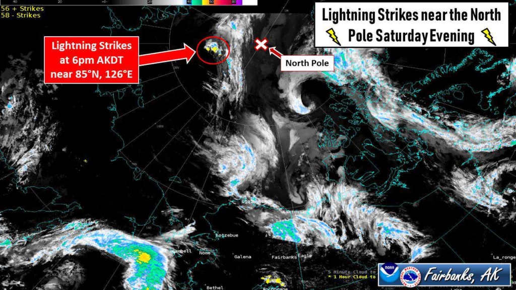
What’s most impressive about last weekend isn’t that lightning was detected so close to the North Pole, but that there was so much of it. Consider the admittedly short history of lightning detection over this northernmost part of the globe, as summarized for Category 6 by Vaisala researcher/engineer Ryan Said, developer of the GLD360 system. Since observations began in 2012, according to Said, only three prior lightning events were detected north of 85°N, and they produced a total of just nine flashes. By comparison, last weekend brought a total of 48 flashes to that region. All but seven of those were CGs, according to Said.
In the larger area north of 80°N, a typical summer brings two to five events, with several dozen flashes in all. No single event on record had produced more than about 50 flashes until July 2018, when just over 300 flashes were observed on a single day. Last weekend, more than 1000 flashes were detected. About 80 percent of these were CGs, Said told Category 6. [more]
Bizarre Happenings in the Far North: Lightning, Tropical Moisture, and More
