Rising sea levels are swallowing North Carolina’s Outer Banks beaches, new report says
By Hayley Fowler
20 November 2019
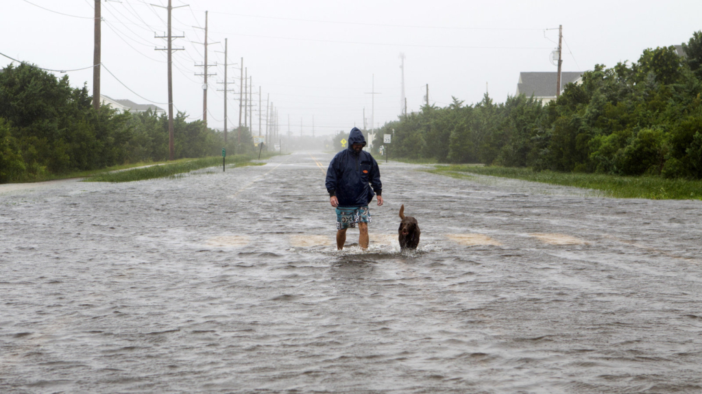
CHARLOTTE, North Carolina (The Charlotte Observer) – Hurricanes aren’t the only hazard lapping at the shores of the Outer Banks, according to a report examining the threat of climate change on some of the country’s most beloved natural landscapes.
Thanks to creeping sea levels and erosion rates, Cape Hatteras National Seashore made the list.
“One of the most imminent threats to the Cape Hatteras National Seashore is to the natural habitat it protects,” the Landslide 2019 report states. “As sea level rises, erosion rates increase and the natural habitat between the ocean and the waterfront properties decreases.”
The report is a product of The Cultural Landscape Foundation, or TCLF, a nonprofit dedicated to the stewardship of those landscapes, that started in 2003.
Jonathan B. Jarvis, the former director of the National Park Service, wrote its introduction.
“As you read through TCLF’s annual Landslide and lament the loss of irreplaceable cultural and historical sites, get angry and then get busy,” he said. “The planet needs you.”
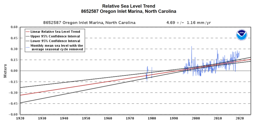
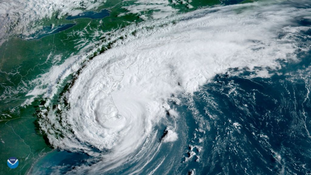
Cape Hatteras is one of three national parks at the Outer Banks — which is projected to see the highest sea level rise by 2100, according to a National Park Service study cited in the report.
At the current rate, the National Oceanic and Atmospheric Administration says sea levels there are rising 4.69 millimeters yearly.
That’s roughly 1.5 feet in a century.
That has widespread consequences for Cape Hatteras, where beaches are being devoured, historic structures are under siege and visitor access is impeded — including the area around the Ocracoke Island Ferry terminal, according to the Landslide 2019 report.
What’s more alarming? “The landscape is deeply and directly connected to the local economy,” the report states. [more]
Rising sea levels are swallowing Outer Banks beaches, new report says