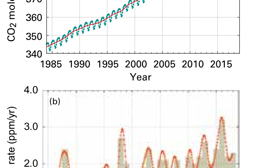
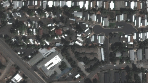
Satellite images show Phoenix and Talent, Oregon, have been “substantially destroyed” by wildfire – “This could be the greatest loss of human lives and property due to wildfire in our state’s history”
By Paul P. Murphy
10 September 2020
(CNN) – Swaths of the small southern Oregon cities of Phoenix and Talent now lie in ash, satellite images show, as wildfires wage unprecedented destruction across the US West.
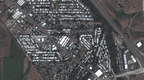
A massive burn scar cuts through parts of Talent and Phoenix, home to about 11,000 people combined. The wounded terrain, seen in images from Maxar Technologies, abuts Interstate 5.The Almeda Drive wildfire tore through Tuesday, “causing widespread property damage with loss of hundreds of structures,” Talent officials said in a news release.
Two people were killed and four injured in the blaze, the State of Oregon Fires and Hotspots Dashboard indicates.
Some 600 residences and 100 other structures were destroyed, it notes.
“This could be the greatest loss of human lives and property due to wildfire in our state’s history,” Oregon Gov. Kate Brown said Wednesday of the wildfires burning across her state.
Phoenix and Talent are “substantially destroyed,” she said.
Nearly everything north of the I-5 overpass in Phoenix appears to have been scorched. [more]
Satellite images show Phoenix and Talent, Oregon, have been nearly wiped out by wildfire