North Pole now a lake – Arctic cyclone to further fracture ice and churn up warm ocean water
By Becky Oskin
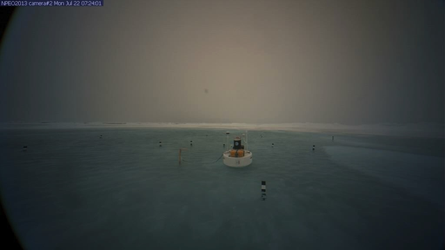
23 July 2013 (LiveScience) – Instead of snow and ice whirling on the wind, a foot-deep aquamarine lake now sloshes around a webcam stationed at the North Pole. The meltwater lake started forming July 13, following two weeks of warm weather in the high Arctic. In early July, temperatures were 2 to 5 degrees Fahrenheit (1 to 3 degrees Celsius) higher than average over much of the Arctic Ocean, according to the National Snow & Ice Data Center. Meltwater ponds sprout more easily on young, thin ice, which now accounts for more than half of the Arctic’s sea ice. The ponds link up across the smooth surface of the ice, creating a network that traps heat from the sun. Thick and wrinkly multi-year ice, which has survived more than one freeze-thaw season, is less likely sport a polka-dot network of ponds because of its rough, uneven surface. July is the melting month in the Arctic, when sea ice shrinks fastest. An Arctic cyclone, which can rival a hurricane in strength, is forecast for this week, which will further fracture the ice and churn up warm ocean water, hastening the summer melt. The Arctic hit a record low summer ice melt last year on 16 September 2012, the smallest recorded since satellites began tracking the Arctic ice in the 1970s.