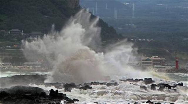
Typhoon Tembin seen looping back to Taiwan
By Peter Enav in Taipei, Taiwan, and Jim Gomez in Manila, Philippines, Associated Press writers
27 August 2012 TOKYO – Typhoon Tembin, which drenched southern Taiwan last week before going out to sea, appeared to be looping back Monday for another run at the island and the nearby Philippines, forecasters said. The revisit comes after another storm about 1,200 miles (750 miles) to the northeast, Typhoon Bolaven, lashed the Japanese island of Okinawa. It injured five people and left 66,500 households without power as of Monday afternoon, but did less damage than feared before moving north into the East China Sea. Bolaven could affect coastal areas of South Korea by Tuesday, weather officials said. Taiwan’s Central Weather Bureau predicted that Tembin would make landfall early Tuesday in the same part of southern Taiwan where it dumped more than 500 millimeters (20 inches) of rain three days ago. Tembin, packing winds of 119 kph (75 mph), will likely skirt the eastern Taiwanese coast before moving northward toward the Chinese mainland, the bureau said. In Manila, the Philippine weather agency reissued typhoon warnings to residents and fishermen for Tembin, which blew out of the archipelago over the weekend. Fishing boats in the north were urged not to venture out to sea while larger ships were warned of possible big waves and heavy rains. While Tembin was not likely to blow onto land, Filipino forecaster Manny Mendoza said its 600-kilometer (375-mile) -wide cloud band would likely intensify monsoon rains and bring strong winds and thunderstorms to the country’s still-soggy north. Disaster officials in Okinawa were relieved that Bolaven, which had been billed as the strongest storm to hit the southern Japanese islands in several years, ended up being weaker than expected. […]
