With rising seas, America’s birthplace could disappear – ‘We were thinking it’s another 100 years, another 150 years. You know, it could be much closer.’
By Christopher Joyce
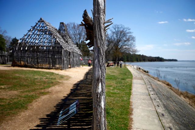
14 May 2013 (NPR) – By the end of the century, the birthplace of America may be underwater. The first successful English colony in America was at Jamestown, Va., a swampy island in the Chesapeake Bay. The colony endured for almost a century, and remnants of the place still exist. You can go there and see the ruins. You can walk where Capt. John Smith and Pocahontas walked. But Jamestown is now threatened by rising sea levels that scientists say could submerge the island by century’s end. You wouldn’t know that by looking. In springtime, Jamestown is a carpet of bright new grass. There’s oak and loblolly pine, and the James River lies on every horizon. There’s a museum and a visitor center and a restored 17th century church. It’s also an archaeological site, one that comes with costumed “interpreters.” Beneath a towering stone monument, a young woman in a woolen smock and peasant blouse greets a gaggle of tourists. […] Climate scientists say that by 2100, oceans could rise worldwide by at least 2 or 3 feet, on average. Coastal flooding will increase, and eventually, without human intervention, Jamestown could go under. So here’s what archaeologists are wondering: Can they save the island as a real place where people can step back through time and see where it all started? The National Park Service owns part of Jamestown. I meet the Park Service’s Dorothy Geyer at the new visitor center (Hurricane Isabel flooded the old one in 2003). Geyer says the Park Service has been thinking about flooding for a long time. “We always knew that the island was at some point going to be in danger of being covered over, but we were thinking it’s another 100 years, another 150 years. You know, it could be much — closer,” she says, pausing as though she’s not quite comfortable with the reality. Most of Jamestown is just above sea level, maybe 3 feet in most places. Along the shore, you can see the river already invading through the tall grass. Storm surge reaches farther inland now than it used to. But something else unusual is going on here. As the levels of the sea and the James River rise, says hydrologist Gary Speiran of the U.S. Geological Survey, river water pushes through the soil, then underneath the island. It gets underneath the freshwater aquifer, Speiran says, and pushes it up, closer to the surface. How often and how much is still a mystery; he has monitoring wells around the island to find out. So water is invading Jamestown from above and below. And archaeologists know that the ground is riddled with things the colonists and Native Americans left behind. Water could ruin these artifacts. [more]