Super Typhoon Mawar strengthens into most powerful storm on Earth in more than 2 years – Record-setting storm is among the 10 most powerful on record globally

By Matthew Cappucci
26 May 2023
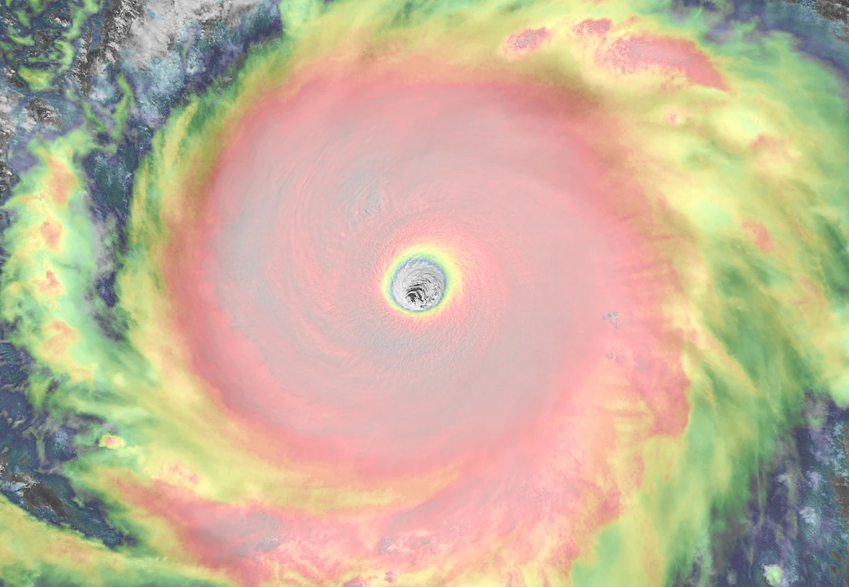
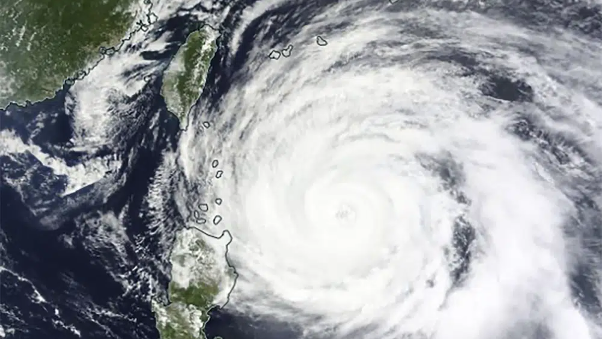
(The Washington Post) – The most powerful storm system on Earth in more than two years, Super Typhoon Mawar, is raging through the Pacific, stirring up 70-foot waves amid 200 mph gusts as the atmospheric buzz saw cruises over warm ocean waters. The meteorological monstrosity could maintain Category 5-equivalent strength for days before weakening upon eventual approach to Taiwan.
The storm passed just north of Guam as a Category 4 on Wednesday, lashing the island with winds in the Category 2 range and flooding rains. Now it’s resurged to Category 5 force and is among the top 10 strongest storms to occur globally since 2000.
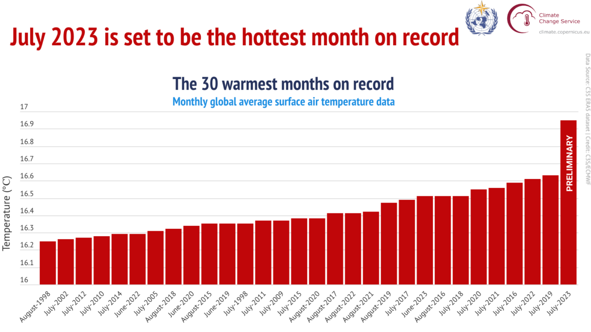
Mawar matches the strongest storms ever observed worldwide during the month of May and beats out anything seen globally in 2022. While the storm is a product of natural randomness, it fits into a pattern of more intense storms, and storms more prone to rapid intensification, in an era earmarked by warming oceans and human-induced climate change.
Since 1950, only eight typhoons in the West Pacific basin have attained Category 5 equivalent status during the month of May, with winds of 157 mph or greater. Mawar is the ninth.
On Thursday night Eastern time, the U.S. Joint Typhoon Warning Center assessed Mawar’s maximum sustained eyewall winds at 160 knots, or 185 mph. Gusts were pegged at 215 mph. There exists only one other West Pacific typhoon in the National Weather Service’s database to become that strong during the month of May — Phyllis, which briefly nicked 185 mph intensity on May 29, 1958. In fact, no other storms worldwide have done that during the month of May.
Throughout the entire year, only 13 other typhoons have reached 185 mph strength since 1979. [more]
Super Typhoon Mawar strengthens into most powerful storm on Earth in more than 2 years


