Two-fisted storm system pummels Iceland, British Isles – “This is not normal flooding, we are in uncharted territory”
By Bob Henson
17 February 2020
(Weather Underground) – A rapid-fire pair of winter storms swept across the North Atlantic from late last week into the weekend, bringing the most widespread flood alerts on record for the United Kingdom and one of the lowest surface pressures ever recorded in this part of the world.
The second and stronger of the storms, named Dennis by the UK Met Office, bottomed out south of Iceland with a central surface pressure estimated at 920 millibars, as noted by weather.com. Only one North Atlantic cyclone is known to have been stronger: a hyper-intense 913-mb cyclone on January 11, 1993, near Scotland’s Shetland Islands. That storm tore apart super oil tanker Braer on a rocky shoal, causing a massive oil spill.

For other memorably intense North Atlantic storms, see the 2013 roundup by Dr. Jeff Masters, featuring research from WU weather historian Christopher Burt and Stephen Burt (University of Cambridge).
A couple of days earlier, another intense North Atlantic cyclone dipped to 929 mb in roughly the same area south of Iceland. The fast approach of Dennis led to a spectacular case of Fujuwhara rotation, in which the decaying first cyclone moved west and south as Dennis took its place. The Fujiwhara effect involves two cyclones near each other that rotate around a point in between, as is often the case with cheek-by-jowl tropical cyclones.
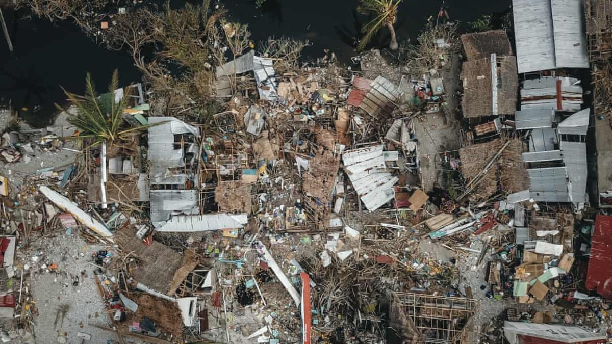
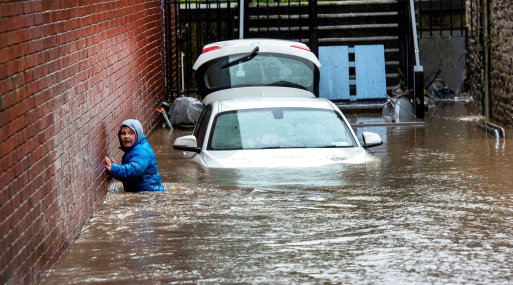
Northwest Europe dealt with another intense storm, named Ciara, just a week earlier. That storm brought wind gusts to 125 mph and caused eight deaths. The one-two punch has led to extreme flooding in parts of the British Isles, particularly southern Wales and adjacent parts of southwest England. In Hereford, the River Wye hit its highest level in more than 200 years of recordkeeping on Monday, according to the Guardian.
At one point on Sunday morning, nearly 600 flood alerts and warnings were in effect across England—the most on record for any day there, according to the U.K. Environment Agency. It will take days for the floodwaters to make their way through larger rivers, including the Severn, where flood control structures will be challenged on Monday night. More rain is in the forecast for some of the hardest-hit areas by midweek.
Ciara and Dennis are just two recent examples of an uncommonly stormy winter across the North Atlantic, a region where wild winter weather is already a matter of course. In mid-January, another bomb cyclone dumped record snow across parts of Newfoundland. These fierce storms have been driven largely by a ramped-up contrast between the Arctic and mid-latitudes this winter. In tandem with an exceptionally strong positive phase of the North Atlantic Oscillation, frigid air has stayed largely confined to the Arctic and Alaska, while much of North America, Europe, and Asia has basked in unusually widespread, prolonged mildness. [more]