Australia bushfires from the air: before and after images show scale of devastation
By Naaman Zhou
16 January 2020
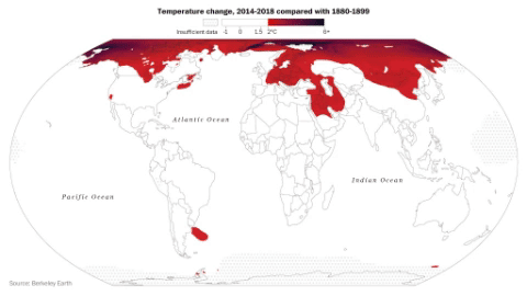
(The Guardian) – More than 10.7m hectares of land have burnt so far in Australia’s bushfires – larger than the total area of South Korea, or Portugal, and 1.3 times the size of Scotland.
The ongoing and unprecedented bushfire crisis has spread across six states and multiple months.
In New South Wales alone, the Gospers Mountain megafire, north of Sydney, is 512,626 hectares in size – larger than Long Island and Manhattan combined. Last week, fires across the north-east of Victoria merged with fires in the NSW Snowy Valley, creating a huge complex of fires across the state border.
Here are nine images, before and after the fires, that show the devastation from beach to bush, farm to forest, across NSW and South Australia.
Many more fires are still burning – especially in Victoria’s East Gippsland and the NSW south coast – and the full visual aftermath will only be known when weather conditions improve. […]
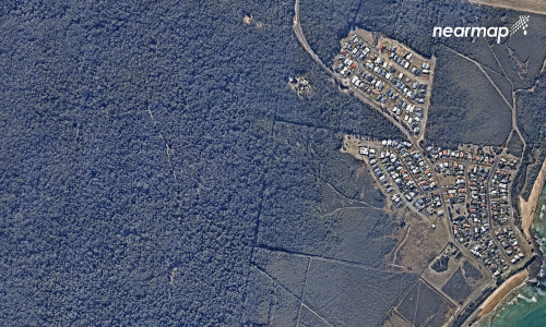
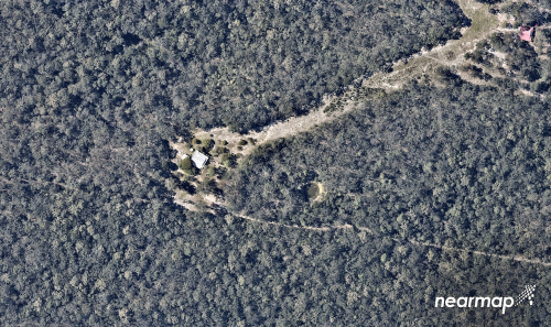
Wallabi Point
Homes were also declared to be in immediate danger at nearby Wallabi Point as the 21,000 hectare Hillville Road fire flared to emergency level. [more]
Australian bushfires from the air: before and after images show scale of devastation