Hurricane Dorian leaves neighborhoods flattened and homes shredded in the Bahamas – “We are in the midst of one of the greatest national crises in our country’s history”
4 September 2019 (CBS News) – As Hurricane Dorian accelerates up the Florida coast, the magnitude of the storm’s destruction in the Bahamas is coming into view. Parts of the island nation are in ruins. Much of Grand Bahama Island is underwater.
Two more deaths were confirmed overnight, bringing the official total now to seven. The country’s prime minister said he expects that number to rise.
The extent of Dorian’s destruction across the Northern Bahamas is immense. As seen from the air over Abaco Island, the damage stretches for miles.
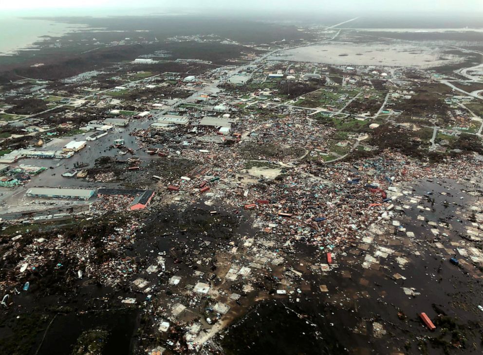
Entire neighborhoods are flattened, homes shredded, shipping containers and boats hurled inland. Some airports now look more like lakes. The terminal of one airport is now shrouded in debris.
“We are in the midst of one of the greatest national crises in our country’s history,” said Prime Minister Hubert Minis. “It is going to require a massive coordinated effort to rebuild.”
Dorian pummeled Abaco and Grand Bahama Islands for two days, with 30 inches of rain and a storm surge as high as 23 feet. [more]
Dorian leaves neighborhoods flattened and homes shredded in the Bahamas
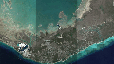
Aerial photos reveal catastrophic damage in the Bahamas from Hurricane Dorian
By Phaedra Singelis
4 September 2019
(ABC News) – Early aerial images show the devastating impact of Hurricane Dorian on the Bahamas. The strongest Atlantic hurricane landfall on record destroyed buildings, brought floods and ripped apart roadways.
Rescue personnel are attempting to assess the damage and reach the most vulnerable victims, yet many areas remain inacessible. So far, seven people are confirmed dead. Officials say that number is “expected to rise.”
Following an air tour on Tuesday, Bahamas Prime Minister Hubert Minnis said authorities haven’t been able to make a full assessment on the ground yet. He described the islands as “decimated” and the destruction “unprecedented.”
Photos taken from above reveal cargo containers and boats tossed like toys, roadways stripped of asphalt and towns under water. Roofs torn from buildings and debris litter the land and trees and piers have been stripped bare. [more]
Aerial photos reveal catastrophic damage in the Bahamas from Hurricane Dorian