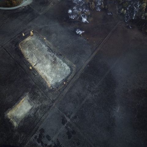
Photo gallery: Aerial view of drought and fire impacts on California landscape
By Amy Graff
29 March 2016 (Seattle PI) – About three and a half years ago, Thomas Heinser was on a plane landing at San Francisco International Airport, when he was admiring the beautiful color palettes of the salt ponds on the edge of the bay. The S.F.-based photographer had spent many years taking aerial images of manmade architecture — from bridges to airports — and on that flight, he decided to change his focus to landscapes. Leaning from a doorless helicopter, Heinser went on to capture the painterly quality of these ponds that are ever changing due to evaporation. The photographs became part of his Reduziert exhibit that recently closed at Gallery 16 in San Francisco and will be on display next in Heinser’s home country of Germany. The collection also includes photographs of Lake County after the devastating 2015 fire that destroyed 50,000 acres and of the drought-ravaged Central Valley. “I was traveling to L.A. and drove by a dried up almond orchard and thought this is drastic,” Heinser said. “That’s when I decided I needed to cover the Central Valley and started flying over Modesto and Fresno. These photos look at the devastation the drought has had on agriculture and the reservoirs.” [more]
Aerial photos show impact of drought and fire on California landscape

