Washington State snow pack at 17 percent of normal level, streams at record-low flows – ‘Worst snow drought we’ve ever seen’
By Glenn Farley
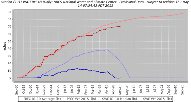
11 May 2015 (KING 5 News) – Washington State’s snow pack level is now averaging just 17 percent of normal, based on measurements made on May 1, 2015. That’s down from a state wide average of 24 percent on April 1, which is the traditional benchmark for the peak of the state’s snow pack. “Worst snow drought we’ve ever seen,” said Scott Pattee, the water supply specialist with the Natural Resource Conservation Service, part of the U.S. Department of Agriculture. The enemy is warmer temperatures, said Pattee.
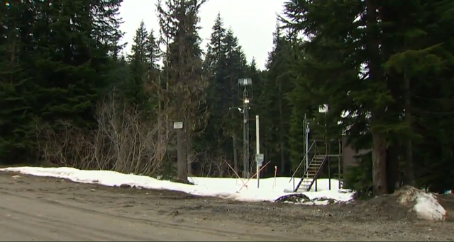
Overall, fall and winter precipitation was about normal, just most of it didn’t hang around as snow that melts out over the warmer months of the year. It’s Pattee who tracks the state’s snow pack both in the field and through the use of technology, what are called snowtel sites, many in remote locations, around the state and feed in data daily.
On Monday Pattee said several regions around the state report no detectable snow, such as the mountains in the Central Puget Sound basin below 5,000 feet, and the one station that saw snow over the Olympic Mountains on May 5 now detects nothing. In a place named Cox Valley, where there should be 80 inches of snow on the ground, there is nothing but a new crop of wildflowers coming up, said Pattee. For the west side of the state one critical worry point is river flows that are seeing record lows for this date. The Washington State Department of Fish and Wildlife, which operates a number of hatcheries, says it’s forming contingency plans for low water, says department spokesman Darren Friedel.
More bad news for Washington’s drought

