Built on sinking ground, Norfolk tries to hold back tide amid sea-level rise
By Darryl Fears
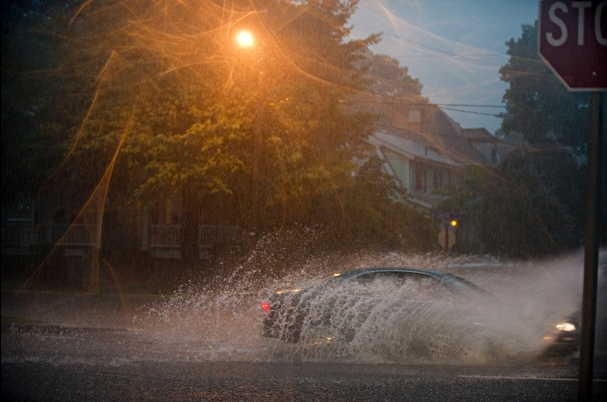
17 June 2012 NORFOLK, Virginia – At her cozy house by the river, Julie Faella spoke as though a monster lurks nearby. It rises under a tidal moon, she said, or when the winds howl, or when rains crash down. She’s seen it with her own eyes. It crept under the front door of one house she owned when Hurricane Isabel whipped the Lafayette River into a frenzy in 2003, and invaded a second house three years later when a nor’easter churned the waters for days. “Your home isn’t destroyed once. It’s destroyed twice,” said Faella, who tore down one house and rebuilt the other. “How are you going to get through it?” In Norfolk, Virginia’s second-largest city, with 250,000 residents, Faella’s concerns aren’t the isolated fears of one woman living on the river’s edge. The entire city is worried. Miles of waterways that add to Norfolk’s charm are also a major threat in the era of increased global warming and relative rising sea levels, as well as its odd and unique sinking ground. The National Oceanic and Atmospheric Administration warns that Hampton Roads, anchored by Norfolk, is at the greatest risk from sea-level rise for a metro area its size, save for New Orleans. City officials had sensed as much in recent years, after frequent massive flooding from soaking rains, storm surge and high tides, often affecting its most lucrative property tax base: high-value waterfront homes sitting in flood zones that ring the city. Norfolk’s mayor said recently that the city might one day retreat from areas that constantly take on water and city officials are considering a plan to buy and condemn about 20 homes in Spartan Village, a flood-prone neighborhood near Norfolk State University. But the city is fighting back with a long-term strategy to protect property and roads that lead to the world’s largest naval base, shipyards and hospitals. “Any idea that this area isn’t attractive because of these issues should be tossed aside,” said Ron Williams Jr., an assistant city manager who oversees the city’s infrastructure planning. Along the southeast coast, other cities in Virginia, Maryland, North Carolina and Florida are monitoring Norfolk’s response to the flooding, knowing they could soon face similar challenges. Low-lying Gulf and Pacific coast cities are also watching. Sea-level rise isn’t expected to significantly affect most American cities for at least 30 years. But Hampton Roads — including Virginia Beach and Portsmouth on Norfolk’s borders — is already knee-deep in floodwaters because, as one activist said, the area is “as flat as a pancake” and Chesapeake Bay river tributaries slice deeply inland. Tides rise daily, but as the climate warms, seas have risen and pushed up the Chesapeake Bay around Norfolk a few inches each year, scientists said. In the spring tidal cycle, waters sometimes rise a foot or more above normal. Worse, the ground is sinking in Tidewater, as Hampton Roads is also known. It sits in the nation’s largest known geologic impact crater, an Ice Age formation that’s causing land to drop about seven inches every century, accounting for about one-third of the sea-level change. […]
Built on sinking ground, Norfolk tries to hold back tide amid sea-level rise