As climate changes, Louisiana seeks to lift a highway
By Juliet Eilperin
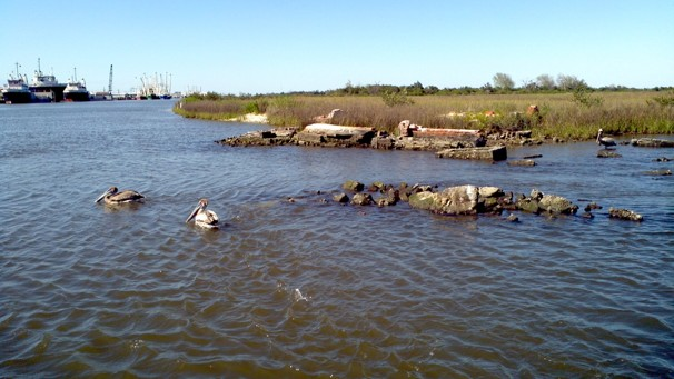
18 March 2012 GOLDEN MEADOW, Louisiana – Here on the side of Louisiana’s Highway 1, next to Raymond’s Bait Shop, a spindly pole with Global Positioning System equipment and a cellphone stuck on top charts the water’s gradual encroachment on dry land. In 1991 this stretch of road through the marshlands of southern Louisiana was 3.9 feet above sea level, but the instrument — which measures the ground’s position in relation to sea level — shows the land has lost more than a foot against the sea. It sank two inches in the past 16 months alone. That’s a problem because Highway 1, unprotected by levees, connects critical oil and gas resources in booming Port Fourchon to the rest of the nation. Ten miles of the highway is now standing 22 feet above sea level on cement piles. But another seven miles is not, and if less than half a mile of this highway succumbs to the 14-foot storm surges expected in the future, the highway will need to be shut down, cutting off the port. Local residents and business leaders are demanding that the federal government help pay to rebuild and elevate the remaining section of Highway 1, adding two miles to span the levees. Federal officials have provided scientific and technical expertise but will not contribute funding unless the state pledges to complete the road. Louisiana says it doesn’t have the money. The dilemma facing this important lowland road is one shared by communities across the country as climate change begins to transform the nation’s landscape. By 2030, many areas in the United States are likely to see storm surges combining with rising sea levels to bring waters at least four feet above the local high-tide line, according to a report released last Wednesday by Climate Central, a nonprofit research group. Nearly 2.6 million homes are on land that would be inundated. […] Researchers at the National Oceanic and Atmospheric Administration, who started measuring tides in Louisiana in the mid-1800s, have analyzed the numbers for Highway 1, and they do not bode well. At today’s rate of sea-level rise — 9.24 millimeters a year — the road would be under water roughly 22 days of the year by 2030. Windell Curole didn’t need NOAA’s number-crunching to tell him what’s coming. The 60-year-old general manager of the South Lafourche Levee District said he couldn’t see open water from this road when he was growing up. Now, it is in plain sight, just yards away.
As climate changes, Louisiana seeks to lift a highway via The Oil Drum