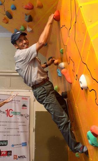
Mountaineers see dramatic climate changes in the Himalaya region
MUMBAI (The Hindu) – It was in 1985 that Apa Sherpa, who scaled Mount Everest for the 21st time in May 2011, came face to face with climate change. His entire village Thame was washed away in a massive glacial lake outburst flood (GLOF) of the Dig Tsho (Tsho-lake), in the western section of the Sagarmatha (Mt. Everest) National Park, Khumbu Himal, on August 4, 1985. The veteran mountaineer, who dropped out of school at 12 to work as a porter for expeditions to support his family, told The Hindu that the lake burst at 2 a.m. and he had a narrow escape. Now his worry is another glacial lake in the Everest region, Imja, which is growing bigger. “Imja Khola is a threat to the entire region and I can’t say if it is as safe as is made out to be. We have to do something before it bursts.” Imja, located in the Khumbu region close to the Everest base camp, did not exist in photographs taken in the 1950s, but now has rapidly expanded to 1.012 sq km. […] Climate change has been most visible to climbers like Apa Sherpa who have noticed big changes since 2008. “Now the snow has reduced and it has become very dangerous especially on the Hilary Step, before the Everest summit. When you wear crampons for the snow and suddenly encounter rock, it gets very slippery,” he says. The rocky patch is increasing over the years. However, his experience saw him through these unexpected challenges. Since 2007 the ice pinnacles in the Everest area have reduced in height and at the advanced base camp, there has been flowing water in the climbing season, a clear indication that ice is melting. “You no longer have to melt ice to drink water,” says Dawa Steven Sherpa. He too noted that the Imja lake was growing bigger. It is upstream of the Everest Base Camp and above major village settlements. “Imja and its potential threat are in the forefront of everyone’s mind since the devastation could be huge,” he fears. Unpredictable weather is making climbing risky but that did not seem to stop 506 climbers, including 219 sherpas, getting to the top of Mt. Everest in 2011. “Rockfall is increasing and I have seen it break a leg. Ice avalanches are also dangerous.” […] Motup Chewang of Rimo Expeditions said major changes had swept the Karakoram Range as well in the last 20-30 years. The glaciers were retreating much faster and huge glacial lakes were forming there. Central east Bhutan also had a large glacial lake and it could be seen from satellites. Even near the Everest base camp some large cornices were disappearing. The Khumbu glacier had retreated by at least a couple of km. In terms of weather too, patterns have changed, he says. Passes in the Himalaya in the Baspa Sangla area and in Nepal are riskier with snowfall and rockfalls. In Siachen, it took 30 minutes to get to the glacier in 1986 but in 2004 the snowline went up higher and now it was a distance of three to four km. […] Divyesh Muni, who has been climbing the mountain for over two decades, has noticed dramatic changes in terrain in the entire Himalayan region and the eastern Karakoram area since 2005. “In one of my expeditions in 2007 to Chong Kumdan, we had a tough time reaching the base camp. The glacier was deeply crevassed and the route had to be changed. It was a sorry state of affairs. In Saser La, a trade route famous for snow, there was none in 2007 making it a simple crossing.” There are few places mountaineer Harish Kapadia has not gone to and he has been observing changes in the Garhwal and Kumaon regions. “The last five years have been marked by receding glaciers and even walking is difficult. The uncertainty for climbers and trekkers is increasing in the Himalayan region.” […]
Mountaineers see dramatic climate change in the Himalayan region
