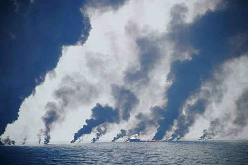
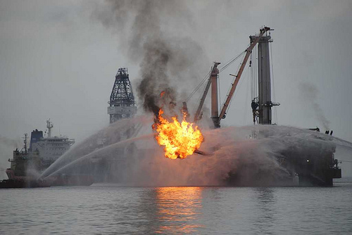
Photo gallery: FSU research cruise at Deepwater Horizon oil spill site
Dr. Oscar Garcia-Pineda of Florida State University has been out in the Gulf this week on the research vessel Brooks McCall. He’s collecting samples and observations of the BP oil slick, and will compare results with simultaneous acquisitions of aerial remote sensing overflights being conducted by NASA. We at SkyTruth are also collecting near-simultaneous satellite imagery to assist this effort. We hope to get a better understanding of how well aerial and satellite remote sensing are detecting oil at (or near) the surface. Oscar sent us a stunning series of photographs taken on June 22 near “Ground Zero” in the Gulf, the site of the leaking Macondo well, showing the cluster of response vessels there, and the collection and burning of oil. You can see them all in SkyTruth’s Deepwater Horizon Blowout gallery (look for the photos with “FSU Sampling Cruise” in the title).

